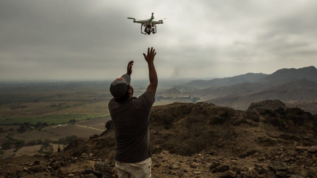
Archaeologists are adding a new tool to their tool kits: The Drone. With the assistance of the UAV cameras, archaeologists are able to photograph sites faster and easier than they ever could before.
In Peru they are working with UAV cameras to map sites to show the legal archaeological sites that need to be protected from population growth. In the past, high elevation points and difficult terrain could take an average of three months to photograph. With the help of the UAV cameras, it is now only a matter of minutes. A Peru team notes that the mapping of these sites was very difficult as they operate on a low budget. Drones have made the mapping of these archaeological sites possible due to the affordability.
Currently National Geographic is expanding their processes to include the use of drones at their site of the Nubian Pyramids. Using the UAV cameras for this site has given them a better perspective of the activities and progress of the current archaeological site.
“Going into the air allows you to specially connect all these different elements and gain a better geographical understanding of what’s happening at the site,” says Alan Turchik , National Geographic Society.
Drones are making the archaeological profession easier to manage and increasing efficiencies. Drones are being embraced by this industry and proving to be a valuable asset to their mission.


